


What We Know
- A powerful 7.3-magnitude earthquake struck off the Pacific coast of Mexico, generating significant seismic activity that was felt across a wide region.
- The earthquake's epicenter was located approximately 100 kilometers (62 miles) southwest of the town of Pijijiapan, Chiapas, at a relatively shallow depth of 24 kilometers (15 miles), which often amplifies surface shaking.
- Immediately following the seismic event, a tsunami warning was issued for coastal areas of Mexico and Guatemala, prompting urgent calls for preparedness and evacuation in low-lying zones.
- Initial reports indicate that the earthquake caused widespread shaking, leading to panic among residents and triggering emergency response protocols in multiple municipalities.
- Authorities in both Mexico and Guatemala have activated their national emergency response systems, deploying assessment teams and preparing for potential aftershocks and tsunami impacts.
- While significant structural damage and casualties have not yet been widely reported, the potential for such outcomes remains high given the earthquake's magnitude and the vulnerability of some infrastructure.
What We Do Not Know Yet
- The precise extent of damage to infrastructure, including buildings, roads, and utilities, across the affected regions in both Mexico and Guatemala is still being assessed and quantified.
- The full scope of potential casualties, including injuries and fatalities, remains unclear as emergency services continue their search and rescue operations in remote or heavily impacted areas.
- The exact height and arrival times of potential tsunami waves along the coastlines of Mexico and Guatemala are subject to ongoing monitoring and modeling by oceanographic agencies.
- Whether the earthquake has triggered any landslides or mudslides in mountainous coastal regions, which could further complicate rescue efforts and cause additional damage, is yet to be confirmed.
- The long-term economic impact on local communities, particularly those reliant on fishing and tourism, is currently unknown and will depend on the severity of the damage and the duration of recovery efforts.
- The frequency and magnitude of potential aftershocks, which could cause further damage and distress, are unpredictable, making ongoing vigilance crucial for residents and emergency responders.
Background
The Pacific Ring of Fire, a horseshoe-shaped belt around the Pacific Ocean, is notorious for its intense seismic and volcanic activity. Mexico, situated at the intersection of several tectonic plates, including the North American, Cocos, and Pacific plates, is one of the most seismically active countries globally. This geological reality means that earthquakes are a frequent occurrence, ranging from minor tremors to devastating mega-quakes. The Cocos Plate, in particular, is subducting beneath the North American Plate along Mexico's Pacific coast, a process that generates immense stress and energy, which is periodically released in the form of powerful earthquakes.
Historically, Mexico has endured numerous catastrophic earthquakes, leading to significant loss of life and widespread destruction. The 1985 Mexico City earthquake, a magnitude 8.0 event, remains a poignant reminder of the country's vulnerability, causing thousands of deaths and collapsing hundreds of buildings, despite its epicenter being hundreds of kilometers away. More recently, the 2017 Puebla and Chiapas earthquakes, both exceeding magnitude 7.0, underscored the ongoing threat, demonstrating how even moderate quakes can inflict severe damage, especially in densely populated urban areas with older infrastructure. These events have prompted continuous improvements in building codes and early warning systems, though challenges persist.
The region off the coast of Chiapas, where this 7.3-magnitude earthquake originated, is particularly prone to powerful subduction zone earthquakes. The convergence rate of the Cocos Plate beneath the North American Plate in this area is relatively high, contributing to the accumulation of significant seismic energy. Understanding this geological context is crucial for comprehending the inherent risks faced by communities along Mexico's Pacific coast and for developing effective disaster preparedness and mitigation strategies. The current event serves as another stark reminder of the dynamic and powerful forces at play beneath the Earth's surface in this volatile region.
Why It Matters
This 7.3-magnitude earthquake is not merely another seismic event; it carries profound implications for the safety and stability of millions across Mexico and Guatemala. The immediate issuance of a tsunami warning underscores the potential for devastating coastal inundation, threatening lives, homes, and critical infrastructure in low-lying areas. Coastal communities, often economically vulnerable and reliant on fishing and tourism, face the terrifying prospect of losing everything to powerful waves. The urgency of this situation cannot be overstated, as every minute counts in preparing for and responding to such a dual threat.
Beyond the immediate tsunami threat, the sheer force of a 7.3-magnitude earthquake can cause extensive structural damage, even in areas relatively distant from the epicenter. Buildings, roads, bridges, and essential utilities like power grids and water systems are all at risk. Such widespread damage can cripple emergency response efforts, isolate communities, and impede the delivery of vital aid. The economic fallout could be severe, disrupting livelihoods and setting back regional development for years, particularly if key industries are affected or supply chains are broken.
Furthermore, the psychological toll on affected populations is immense. Experiencing such a powerful earthquake, coupled with the looming threat of a tsunami, can lead to widespread trauma, anxiety, and displacement. The disruption to daily life, the loss of homes, and the fear for loved ones create a humanitarian crisis that extends far beyond the initial tremors. This event highlights the critical importance of robust early warning systems, resilient infrastructure, and comprehensive disaster preparedness plans to protect vulnerable populations and minimize the long-term human and economic costs.
Timeline of Events
- Initial seismic activity detected by monitoring stations, indicating a significant geological event unfolding off the coast of Chiapas, Mexico, prompting immediate alerts to relevant agencies.
- The United States Geological Survey (USGS) confirms a 7.3-magnitude earthquake, pinpointing its epicenter southwest of Pijijiapan, Chiapas, at a shallow depth, suggesting widespread ground shaking.
- Mexico's National Seismological Service (SSN) independently verifies the earthquake's magnitude and location, corroborating the USGS data and initiating national emergency protocols.
- The Pacific Tsunami Warning Center (PTWC) issues a tsunami warning for coastal areas of Mexico and Guatemala, based on the earthquake's magnitude, depth, and location, advising immediate precautionary measures.
- Local authorities in affected Mexican states, including Chiapas and Oaxaca, begin issuing evacuation orders for low-lying coastal areas, urging residents to move to higher ground safely and swiftly.
- Guatemalan disaster management agencies activate their emergency response plans, instructing coastal communities to prepare for potential tsunami waves and initiating public awareness campaigns.
- Reports of widespread shaking and minor damage begin to emerge from various towns and cities across southern Mexico and parts of Guatemala, though comprehensive assessments are still underway.
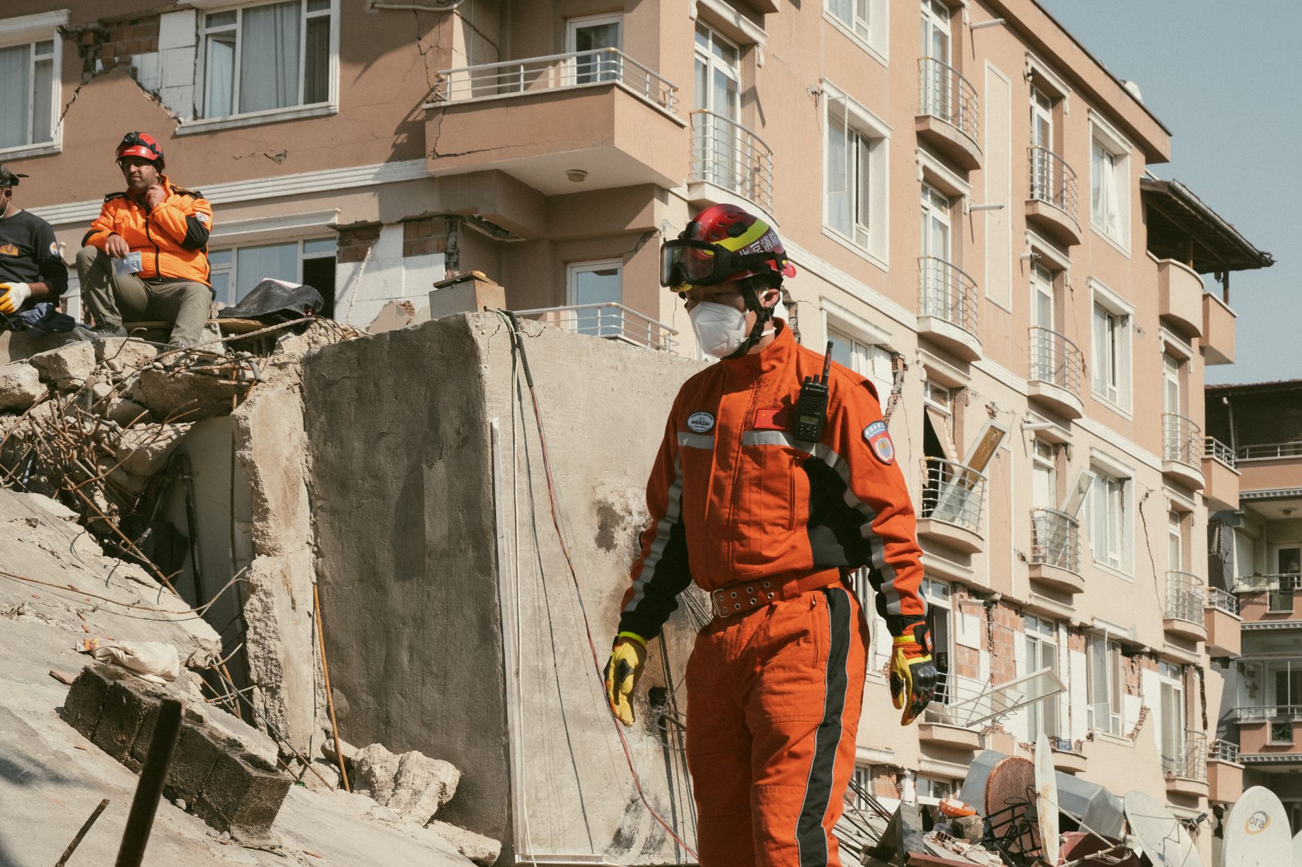
- Emergency services, including search and rescue teams, are mobilized and deployed to potentially affected areas to assess damage, provide assistance, and ensure public safety.
- Aftershocks are reported in the hours following the main quake, reminding residents of the ongoing seismic instability and the need for continued vigilance and adherence to safety guidelines.
- International seismic monitoring organizations and humanitarian aid groups begin to offer support and resources, closely tracking the situation and preparing for potential assistance efforts.

Rapid-Fire Q&A
What Is Coming
- Continued monitoring of seismic activity, including aftershocks, by geological agencies to assess ongoing risks and provide timely updates to the public and emergency responders.
- Intensive damage assessment operations across affected regions in Mexico and Guatemala, with teams on the ground evaluating structural integrity, identifying critical infrastructure failures, and estimating the full extent of losses.
- Ongoing tsunami threat evaluation and potential wave impact assessments by oceanographic centers, providing updated forecasts and guidance for coastal communities regarding safety and return protocols.
- Mobilization of humanitarian aid and disaster relief efforts, both domestically and potentially internationally, to provide essential supplies, medical assistance, and temporary shelter to displaced populations.
- Activation of long-term recovery and reconstruction plans, which will involve significant investment in rebuilding infrastructure, supporting affected livelihoods, and providing psychological support to communities.
- Increased focus on public education campaigns regarding earthquake and tsunami preparedness, reinforcing evacuation routes, emergency kits, and safe practices for residents in high-risk zones.
- Review and potential enhancement of existing early warning systems and building codes based on lessons learned from this event, aiming to improve resilience against future natural disasters.
- Economic impact analyses to understand the short-term and long-term consequences for local economies, particularly in sectors like tourism, agriculture, and fishing, which are vital to coastal communities.
- Heightened political and social discourse around disaster resilience, climate change impacts, and the need for sustained investment in preventative measures and rapid response capabilities.
- International cooperation and scientific collaboration to better understand the seismic dynamics of the region and develop more accurate predictive models for future large-scale events.









Comments
No comments yet. Be the first to comment!