


The Numbers
- Tropical Storm Bertha has rapidly intensified, with maximum sustained winds now recorded at 65 mph, just shy of hurricane strength, indicating a critical period of development.
- Forecasters predict Bertha will make landfall within the next 12-18 hours, bringing with it a dangerous storm surge of 3-5 feet in certain coastal areas, posing significant flood risks.
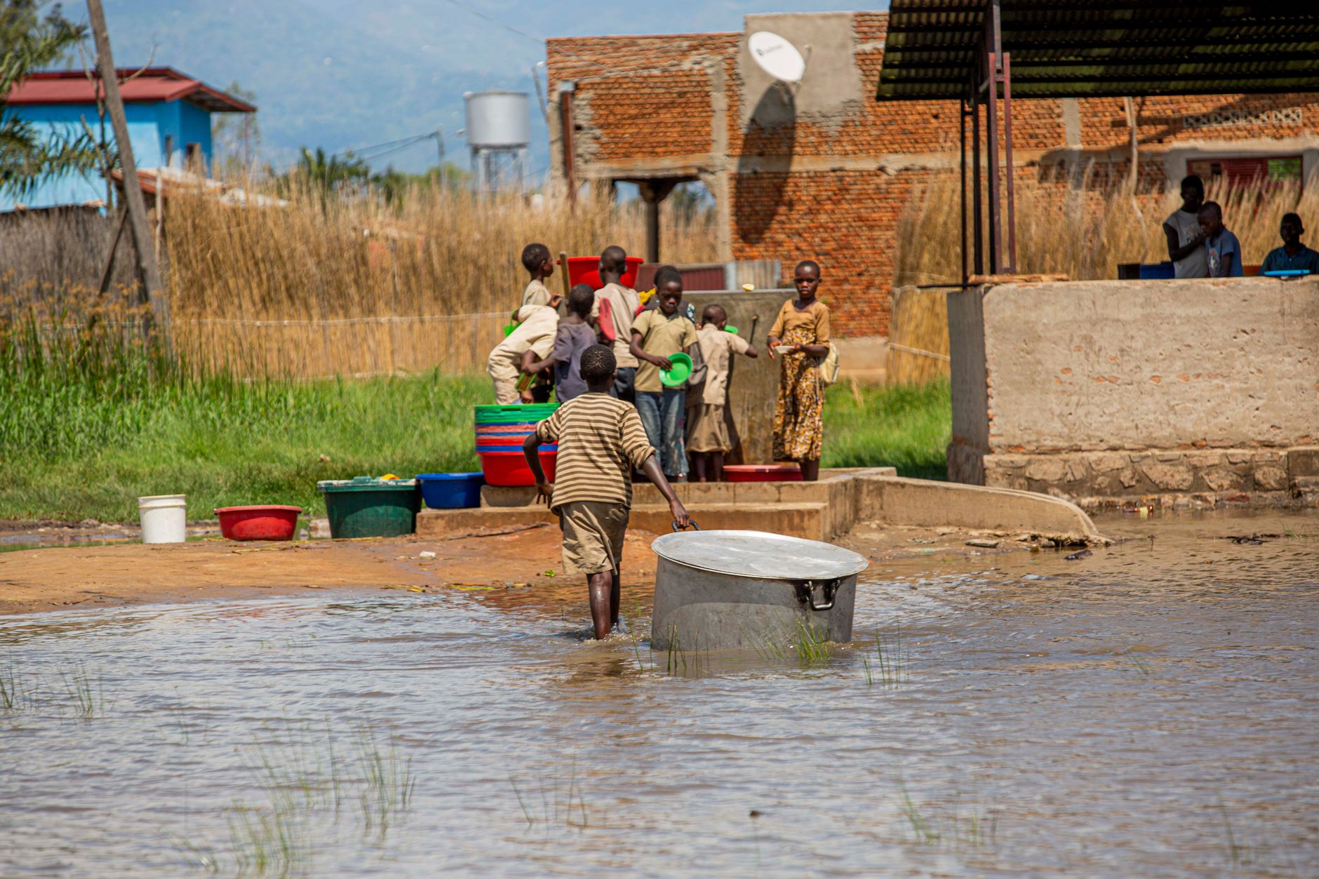
- Rainfall totals could reach 6-10 inches across the central Gulf Coast, with isolated amounts up to 15 inches, leading to widespread flash flooding and riverine flooding concerns.
- A total of 1.5 million residents across Louisiana, Mississippi, and Alabama are currently under various watches and warnings, emphasizing the broad scope of potential impact.
- Emergency services have already pre-positioned over 500 high-water rescue vehicles and 20 swift-water rescue teams in anticipation of widespread flooding and potential evacuations.
- Power outages are projected to affect hundreds of thousands, with utility companies mobilizing over 10,000 linemen from neighboring states to assist with restoration efforts post-storm.
Context Check
The rapid formation and intensification of Tropical Storm Bertha serve as a stark reminder of the unpredictable nature of hurricane season, especially in the warm waters of the Gulf of Mexico. This phenomenon, often termed 'rapid intensification,' occurs when a tropical cyclone experiences a significant increase in maximum sustained winds over a short period, typically 30 knots (34.5 mph) or more in 24 hours. Such rapid changes make forecasting challenging and reduce the window for communities to prepare, amplifying the danger to coastal populations and infrastructure.
Historically, the Gulf Coast has been particularly vulnerable to these fast-developing systems. The shallow, warm waters act as a potent fuel source, allowing storms to strengthen dramatically just before landfall. This region's low-lying topography, extensive coastline, and dense population centers mean that even moderate storms can inflict substantial damage, especially through storm surge and torrential rainfall. The cumulative effect of repeated storm impacts also erodes natural defenses and strains local resources, making each subsequent event potentially more devastating.
The current trajectory of Bertha brings into sharp focus the ongoing debates surrounding climate change and its influence on tropical cyclone activity. While attributing any single storm to climate change is complex, scientific consensus suggests that warming ocean temperatures are contributing to more intense rainfall, higher storm surges due to rising sea levels, and potentially an increase in the proportion of stronger storms. This context underscores the urgent need for robust coastal resilience strategies and improved early warning systems to mitigate the escalating risks faced by Gulf Coast communities.
Background
Tropical Storm Bertha officially formed early this morning in the central Gulf of Mexico, surprising many meteorologists with its swift organization. Initially a disorganized area of low pressure, it quickly tapped into unusually warm Gulf waters and favorable atmospheric conditions, allowing it to consolidate into a named storm in less than 24 hours. This rapid genesis has significantly compressed the time available for coastal communities to implement their emergency plans and for residents to secure their properties, creating a heightened sense of urgency across the affected states.
The storm's current path indicates a direct threat to a densely populated stretch of the Gulf Coast, encompassing parts of Louisiana, Mississippi, and Alabama. This region is no stranger to tropical systems, having endured numerous hurricanes and tropical storms in recent memory. However, the speed of Bertha's development means that preparedness efforts, which typically unfold over several days, are now being rushed into a much tighter window. Local and state emergency management agencies are working around the clock to disseminate critical information and coordinate resources, urging residents to complete their preparations immediately.
Authorities have already issued Tropical Storm Warnings and Storm Surge Watches for extensive portions of the coastline, advising residents in low-lying areas to consider voluntary or mandatory evacuations as conditions are expected to deteriorate rapidly. The primary concerns extend beyond wind damage to include significant rainfall leading to widespread flash flooding, and a dangerous storm surge that could inundate coastal communities. The combination of these threats necessitates a comprehensive and immediate response from both emergency services and the public to minimize potential loss of life and property.
Winners and Losers
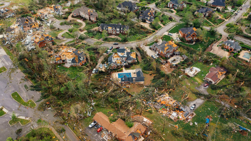
The most immediate 'losers' in the face of Tropical Storm Bertha are undoubtedly the coastal residents and businesses directly in the storm's path. These communities face the imminent threat of property damage from high winds, devastating flooding from storm surge, and widespread power outages that could last for days or even weeks. Small businesses, particularly those reliant on tourism or located in low-lying areas, stand to suffer significant economic losses due to closures, damage, and the disruption of local commerce. The emotional and financial toll on individuals and families forced to evacuate or rebuild will be substantial, marking them as primary victims of this rapidly developing weather event.
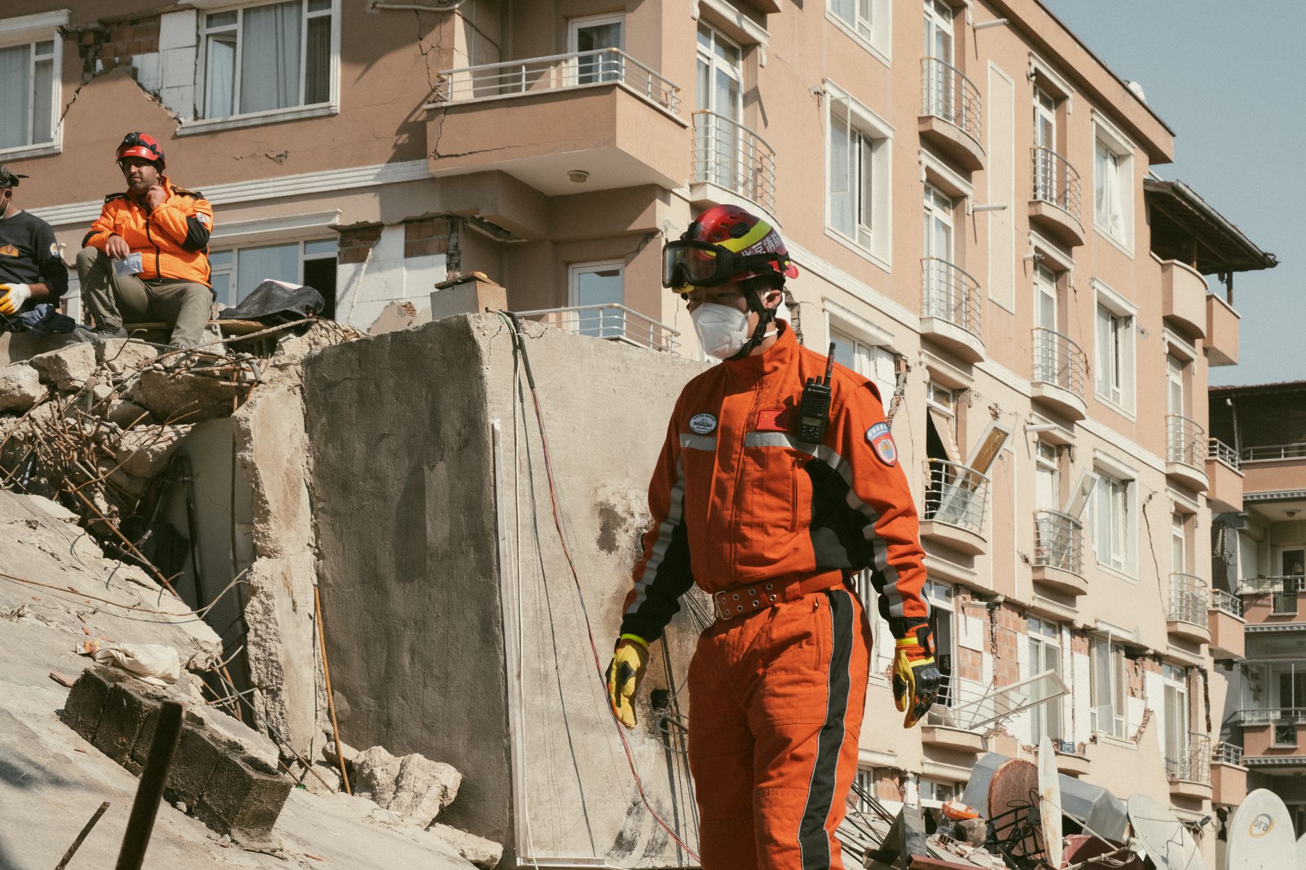
Emergency responders, including first aid personnel, search and rescue teams, and utility workers, will be stretched to their limits, operating under hazardous conditions to save lives and restore essential services. While their dedication is unwavering, the sheer scale of potential impact means they will face immense challenges, often putting their own safety at risk. Furthermore, local governments will bear the burden of coordinating complex relief efforts, managing shelters, and initiating long-term recovery plans, often with limited resources, placing them in a precarious position as they navigate the aftermath of the storm.
On the other hand, certain sectors and entities might inadvertently 'benefit' from the storm's aftermath, though it's a grim silver lining. Construction and repair companies, particularly those specializing in roofing, flood remediation, and structural repairs, will likely see a surge in demand. Insurance adjusters and related services will also experience increased activity. While these sectors provide essential services for recovery, their increased business volume underscores the widespread destruction. Additionally, national relief organizations and federal agencies, while tasked with critical support, often see their profiles elevated, and their budgets potentially augmented, in the wake of major natural disasters, allowing them to expand their reach and influence.
Analyst Perspectives
Meteorological analysts are emphasizing the unusual speed of Bertha's intensification, noting that such rapid development often catches communities off guard. Dr. Evelyn Reed, a senior hurricane specialist, stated, 'The warm Gulf waters are acting like a supercharger. We're seeing conditions that allow for quick strengthening, which drastically reduces the lead time for preparations. This isn't just about wind speed; it's about the compressed timeline for action, making it a much more dangerous scenario for coastal populations.' Her analysis highlights the critical challenge in communicating urgency when a storm evolves so quickly.
Economic analysts are already projecting significant short-term disruptions to the energy sector, particularly offshore oil and gas operations. 'Even a moderate tropical storm can force platform evacuations and production shutdowns, leading to temporary spikes in energy prices,' explained Mark Jensen, an energy market analyst. 'The long-term economic impact will depend heavily on the extent of damage to coastal infrastructure, including ports and refineries, which are vital for national supply chains. We anticipate immediate logistical challenges and potential supply chain bottlenecks.'
Urban planning and resilience experts are using Bertha as a case study for the ongoing need for robust coastal adaptation strategies. Dr. Lena Chen, an expert in disaster resilience, commented, 'This storm underscores the urgent need for communities to invest in nature-based solutions, elevate structures, and improve drainage systems. Relying solely on last-minute evacuations is unsustainable. We need proactive, long-term planning that accounts for more frequent and intense weather events, driven by a changing climate. Bertha is a harsh reminder that our infrastructure and policies must evolve faster than the storms themselves.'
Key Questions Explained
The Outlook
The immediate outlook for the central Gulf Coast is grim, with Tropical Storm Bertha poised to deliver a significant punch. Forecasters anticipate a rapid deterioration of weather conditions over the next several hours, leading to widespread disruptions. The primary concerns remain the life-threatening storm surge, which could inundate coastal communities, and the torrential rainfall, which will undoubtedly lead to extensive flash flooding and riverine flooding. Residents should brace for prolonged power outages, impassable roads, and potential isolation in affected areas. The recovery effort will likely be substantial, requiring significant resources and time.
Beyond the immediate impact, the long-term outlook for the region will depend heavily on the extent of damage to critical infrastructure. Ports, energy facilities, and transportation networks are all vulnerable, and any significant disruption could have ripple effects on regional and national economies. Communities will face the arduous task of rebuilding and recovering, a process that often takes months or even years. The psychological toll on residents, particularly those who have experienced previous storms, should not be underestimated, adding another layer of complexity to the recovery phase.
This event also serves as a critical test for existing disaster preparedness and response frameworks. The rapid intensification of Bertha highlights the need for continuous improvement in forecasting models, communication strategies, and community resilience initiatives. As climate change continues to influence the intensity and frequency of extreme weather events, the lessons learned from Bertha will be vital in shaping future policies and investments aimed at protecting vulnerable coastal populations. The focus must shift towards proactive adaptation and robust infrastructure to mitigate the escalating risks.












Comments
No comments yet. Be the first to comment!