

Yorkshire braces as Storm Amy looms (Yorkshire, 15 September 2025)
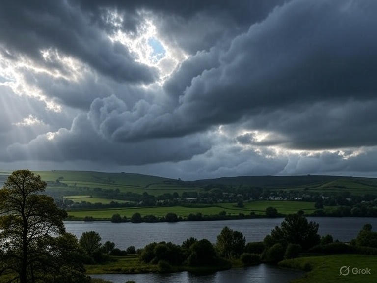
The Met Office has issued a yellow weather warning for much of Yorkshire ahead of Storm Amy, expected to hit the region later today with heavy winds, prolonged rainfall, and possible disruption to transport and infrastructure.
What we know so far
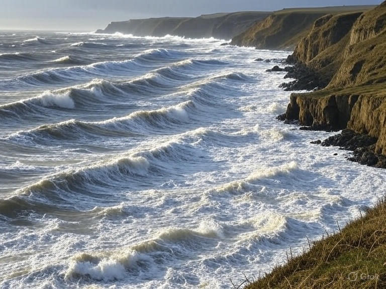
Storm Amy is forecast to bring strong south-westerly winds, gusting around 40-55 mph inland and potentially higher in exposed or elevated areas. Torrential rain is expected in bursts, especially through the afternoon and evening. Local authorities are warning that some roads may flood, public transport could be delayed, and power outages are possible in vulnerable spots.
Local councils have advised residents to secure garden furniture, loose roofing and other outdoor items, and to check travel arrangements if they must travel through the afternoon or evening.
Hour-by-Hour Forecast (illustrative)
Here’s how conditions are expected to develop across Yorkshire, hour by hour (times BST):
| Time | Conditions | Wind / Gusts | Notes / Impact |
|---|---|---|---|
| 12:00-14:00 | Increasing cloud cover, occasional light rain | Winds start to pick up, 30-40 mph gusts in exposed zones | Possible spray on roads; drivers may feel buffeted on bridges and open routes |
| 14:00-16:00 | Heavier rain moving in; plumes of showers across western parts rising east | Gusts reach 45-50 mph | Minor surface flooding; journey times may increase |
| 16:00-18:00 | Peak of wind and rain; storm bands move through | Gusts potentially 55-60 mph in upland or coastal areas | Disruption to buses/trains; risk to properties and trees; outdoor events likely affected |
| 18:00-20:00 | Rain easing gradually; wind still strong | Gusts easing to 40-50 mph | Conditions slowly improve; secondary impacts (power, fallen debris) more likely during transition |
| 20:00-22:00 | Rain tapering off; scattered showers remain | Winds easing further to 30-40 mph | Relief for many; still caution advised overnight |
| 22:00-00:00 | Mostly showers, perhaps dry spells | Winds dropping further | Overnight travel safer; risk remains in exposed areas |
Voices from the ground
“What worries us most is the timing — peak winds and rainfall are expected just when many commute or return home,” said a spokesperson for Yorkshire Highways.
A Met Office meteorologist added, “While yellow warnings do not indicate the worst case, they are serious — residents need to be alert to changing conditions, particularly in exposed or flood-prone areas.”
What is confirmed vs. what’s yet uncertain
Confirmed: Yellow warning is in place; forecast for strong winds and bursts of heavy rain.
Less certain: Exactly how high gusts will reach in each locality; timing may shift slightly east or west; intensity of rain bands may vary depending on terrain and timing.
What to do and looking ahead
Authorities urge everyone in Yorkshire to prepare:
Secure loose items outdoors and ensure drainage around your home is clear.
Check bus, train and flight schedules in advance; allow extra travel time.
Be cautious near waterways and roads prone to flooding.
Weather services expect the worst of Storm Amy to pass by midnight, with calmer, drier conditions likely by early morning. Forecast updates will be issued as the situation evolves.
Conclusion
As Storm Amy heads toward Yorkshire under a yellow warning, residents should stay informed, take basic precautionary steps, and expect disruptions through the afternoon and evening. Local authorities and the Met Office will monitor the storm closely, with further updates anticipated. Calm conditions are likely to return overnight, but the full impact depends on local geography and timing.


Comments
No comments yet. Be the first to comment!